
Thank you for supporting this site ❤️
Make a donation
Make a donation
Amieira do Tejo topographic map
Click on the map to display elevation.
Thank you for supporting this site ❤️
Make a donation
Make a donation
About this map
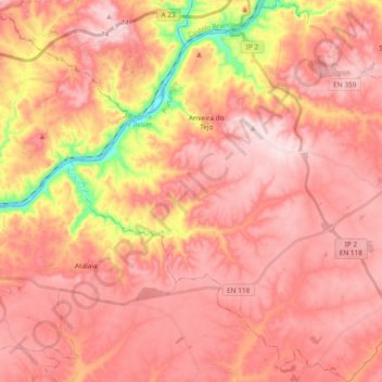
Name: Amieira do Tejo topographic map, elevation, terrain.
Location: Amieira do Tejo, Portalegre, Portugal (39.41065 -7.88292 39.55551 -7.70738)
Average elevation: 239 m
Minimum elevation: 44 m
Maximum elevation: 325 m
Thank you for supporting this site ❤️
Make a donation
Make a donation