
Wanua Tagulandang topographic map
Interactive map
Click on the map to display elevation.
About this map
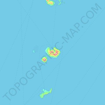
Name: Wanua Tagulandang topographic map, elevation, terrain.
Location: Wanua Tagulandang, North Sulawesi, Indonesia (2.02970 125.09520 2.66970 125.73520)
Average elevation: 4 m
Minimum elevation: 0 m
Maximum elevation: 739 m
Other topographic maps
Click on a map to view its topography, its elevation and its terrain.