
Bayou La Batre topographic map
Interactive map
Click on the map to display elevation.
About this map
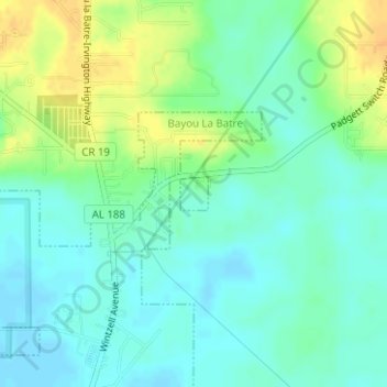
Name: Bayou La Batre topographic map, elevation, terrain.
Location: Bayou La Batre, Mobile County, Alabama, United States (30.42458 -88.23891 30.42690 -88.23667)
Average elevation: 13 m
Minimum elevation: 2 m
Maximum elevation: 31 m