
Thank you for supporting this site ❤️
Make a donation
Make a donation
Okayama topographic map
Click on the map to display elevation.
Thank you for supporting this site ❤️
Make a donation
Make a donation
About this map
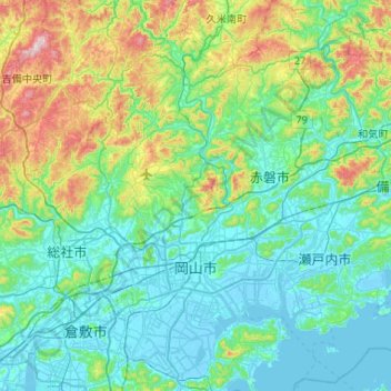
Name: Okayama topographic map, elevation, terrain.
Location: Okayama, Okayama Prefecture, Japan (34.51833 133.73966 34.94893 134.15258)
Average elevation: 135 m
Minimum elevation: -5 m
Maximum elevation: 682 m
Thank you for supporting this site ❤️
Make a donation
Make a donation