
Les Guesdons topographic map
Interactive map
Click on the map to display elevation.
About this map
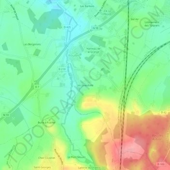
Name: Les Guesdons topographic map, elevation, terrain.
Average elevation: 72 m
Minimum elevation: 32 m
Maximum elevation: 142 m
Other topographic maps
Click on a map to view its topography, its elevation and its terrain.
Hameau de la Grange
France > Nouvelle-Aquitaine > Charente > Roullet-Saint-Estèphe > Roullet
Hameau de la Grange, Roullet, Roullet-Saint-Estèphe, Angoulême, Charente, Nouvelle-Aquitaine, France métropolitaine, 16440, France
Average elevation: 63 m