
Conweiler topographic map
Interactive map
Click on the map to display elevation.
About this map
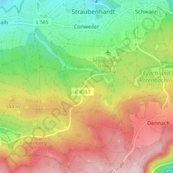
Name: Conweiler topographic map, elevation, terrain.
Average elevation: 511 m
Minimum elevation: 355 m
Maximum elevation: 691 m
Other topographic maps
Click on a map to view its topography, its elevation and its terrain.
Ottenhausen
Deutschland > Baden-Württemberg > Enzkreis > Straubenhardt
Ottenhausen, Straubenhardt, Enzkreis, Baden-Württemberg, Deutschland
Average elevation: 304 m