
秦淮河 topographic map
Interactive map
Click on the map to display elevation.
About this map
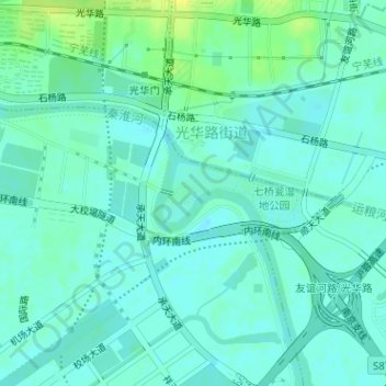
Name: 秦淮河 topographic map, elevation, terrain.
Location: 秦淮河, 秦淮区, 南京市, 江苏省, 210012, 中国 (32.00654 118.82425 32.01139 118.83226)
Average elevation: 10 m
Minimum elevation: 4 m
Maximum elevation: 22 m
Other topographic maps
Click on a map to view its topography, its elevation and its terrain.