
永宁河 topographic map
Interactive map
Click on the map to display elevation.
About this map
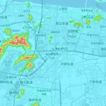
Name: 永宁河 topographic map, elevation, terrain.
Location: 永宁河, 椒江区, 台州市, 浙江省, 318050, 中国 (28.56493 121.37840 28.69612 121.39768)
Average elevation: 13 m
Minimum elevation: -4 m
Maximum elevation: 293 m
Other topographic maps
Click on a map to view its topography, its elevation and its terrain.