
Bourgneuf topographic map
Interactive map
Click on the map to display elevation.
About this map
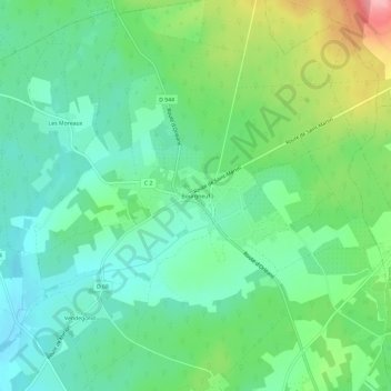
Name: Bourgneuf topographic map, elevation, terrain.
Average elevation: 175 m
Minimum elevation: 136 m
Maximum elevation: 263 m
Other topographic maps
Click on a map to view its topography, its elevation and its terrain.
Les Moreaux
France > Centre-Val de Loire > Cher > Saint-Éloy-de-Gy
Les Moreaux, Saint-Éloy-de-Gy, Bourges, Cher, Centre-Val de Loire, France métropolitaine, 18110, France
Average elevation: 167 m