
کالام topographic map
Interactive map
Click on the map to display elevation.
About this map
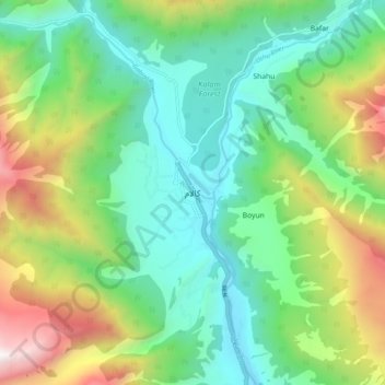
Name: کالام topographic map, elevation, terrain.
Location: کالام, Swāt District, Khyber Pakhtunkhwa, Pakistan (35.44124 72.54811 35.52124 72.62811)
Average elevation: 2,547 m
Minimum elevation: 1,915 m
Maximum elevation: 3,942 m