
Bel-Air topographic map
Interactive map
Click on the map to display elevation.
About this map
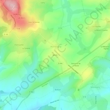
Name: Bel-Air topographic map, elevation, terrain.
Average elevation: 295 m
Minimum elevation: 228 m
Maximum elevation: 426 m
Other topographic maps
Click on a map to view its topography, its elevation and its terrain.
La Tuilerie
France > Centre-Val de Loire > Cher > Humbligny > La Tuilerie
La Tuilerie, Humbligny, Bourges, Cher, Centre-Val de Loire, France métropolitaine, 18250, France
Average elevation: 298 m