
Château de Sombreffe topographic map
Interactive map
Click on the map to display elevation.
About this map
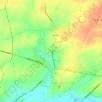
Name: Château de Sombreffe topographic map, elevation, terrain.
Average elevation: 151 m
Minimum elevation: 127 m
Maximum elevation: 171 m
Other topographic maps
Click on a map to view its topography, its elevation and its terrain.
Les Bruyères
Belgique > Namur > Namur > Sombreffe
Les Bruyères, Sombreffe, Namur, Wallonie, 5140, Belgique
Average elevation: 155 m