
Gerli topographic map
Interactive map
Click on the map to display elevation.
About this map
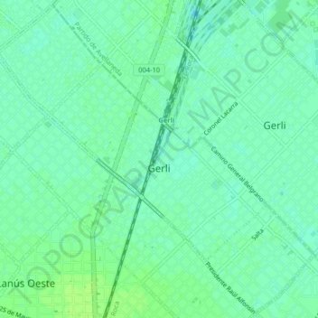
Name: Gerli topographic map, elevation, terrain.
Location: Gerli, Partido de Lanús, Buenos Aires, Argentina (-34.70671 -58.40424 -34.67458 -58.36401)
Average elevation: 8 m
Minimum elevation: 2 m
Maximum elevation: 12 m
Other topographic maps
Click on a map to view its topography, its elevation and its terrain.
Villa General Belgrano
Argentina > Buenos Aires > Gerli
Villa General Belgrano, Gerli, Partido de Lanús, Buenos Aires, Argentina
Average elevation: 8 m