
Picpus topographic map
Interactive map
Click on the map to display elevation.
About this map
Name: Picpus topographic map, elevation, terrain.
Average elevation: 26 m
Minimum elevation: -1 m
Maximum elevation: 56 m
Other topographic maps
Click on a map to view its topography, its elevation and its terrain.
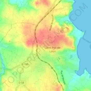
Pempoull
France > Bretagne > Finistère > Saint-Pol-de-Léon
Pempoull, Saint-Pol-de-Léon, Morlaix, Finistère, Bretagne, France métropolitaine, 29250, France
Average elevation: 17 m