
Thank you for supporting this site ❤️
Make a donation
Make a donation
Hudson topographic map
Click on the map to display elevation.
Thank you for supporting this site ❤️
Make a donation
Make a donation
About this map
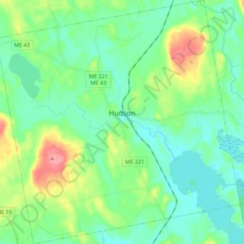
Name: Hudson topographic map, elevation, terrain.
Location: Hudson, Penobscot County, Maine, 04449, United States (44.94391 -68.95823 45.05045 -68.80778)
Average elevation: 53 m
Minimum elevation: 31 m
Maximum elevation: 113 m
Thank you for supporting this site ❤️
Make a donation
Make a donation
Other topographic maps
Click on a map to view its topography, its elevation and its terrain.