
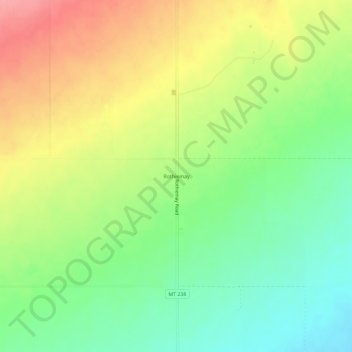
Rothiemay topographic map
Interactive map
Click on the map to display elevation.
About this map
Name: Rothiemay topographic map, elevation, terrain.
Location: Rothiemay, Golden Valley County, Montana, United States (46.52663 -109.28240 46.56663 -109.24240)
Average elevation: 1,339 m
Minimum elevation: 1,296 m
Maximum elevation: 1,393 m
Other topographic maps
Click on a map to view its topography, its elevation and its terrain.
Ryegate
United States > Montana > Golden Valley County
Ryegate, Golden Valley County, Montana, United States
Average elevation: 1,132 m