
Batas Island topographic map
Interactive map
Click on the map to display elevation.
About this map
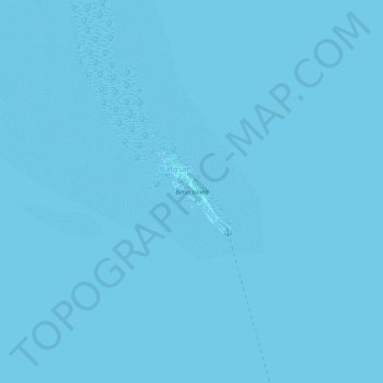
Name: Batas Island topographic map, elevation, terrain.
Location: Batas Island, Batasan, Bohol, Central Visayas, Philippines (10.01134 123.98643 10.01719 123.99163)
Average elevation: 0 m
Minimum elevation: -1 m
Maximum elevation: 1 m