
Thank you for supporting this site ❤️
Make a donation
Make a donation
Brindaban topographic map
Click on the map to display elevation.
Thank you for supporting this site ❤️
Make a donation
Make a donation
About this map
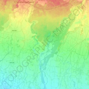
Name: Brindaban topographic map, elevation, terrain.
Location: Brindaban, Rautahat, Madhesh Province, Nepal (26.97151 85.27726 27.11737 85.45213)
Average elevation: 107 m
Minimum elevation: 87 m
Maximum elevation: 144 m
Thank you for supporting this site ❤️
Make a donation
Make a donation