
Olney topographic map
Interactive map
Click on the map to display elevation.
About this map
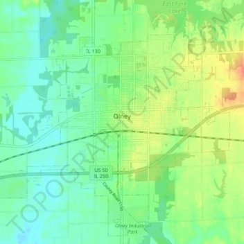
Name: Olney topographic map, elevation, terrain.
Location: Olney, Richland County, Illinois, 62450, United States (38.69758 -88.13133 38.75846 -88.04781)
Average elevation: 143 m
Minimum elevation: 124 m
Maximum elevation: 178 m
Other topographic maps
Click on a map to view its topography, its elevation and its terrain.
Borah Lake
United States > Illinois > Richland County
Borah Lake, Richland County, Illinois, United States
Average elevation: 148 m