
Oued El Alleug topographic map
Interactive map
Click on the map to display elevation.
About this map
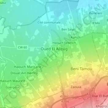
Name: Oued El Alleug topographic map, elevation, terrain.
Location: Oued El Alleug, Daïra Oued El Alleug, Blida, Algérie (36.50153 2.72474 36.60022 2.81999)
Average elevation: 62 m
Minimum elevation: 11 m
Maximum elevation: 191 m
Other topographic maps
Click on a map to view its topography, its elevation and its terrain.
Beni Tamou
Algérie > Blida > Daïra Oued El Alleug
Beni Tamou, Daïra Oued El Alleug, Blida, Algérie
Average elevation: 92 m