
Thank you for supporting this site ❤️
Make a donation
Make a donation
Long topographic map
Click on the map to display elevation.
Thank you for supporting this site ❤️
Make a donation
Make a donation
About this map
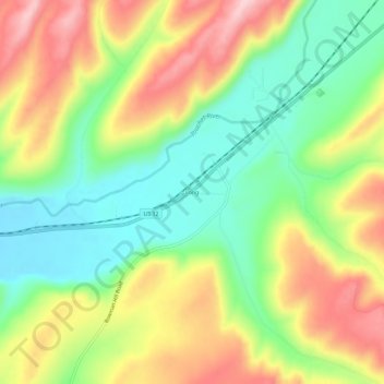
Name: Long topographic map, elevation, terrain.
Location: Long, Columbia County, Washington, United States (46.27153 -118.04661 46.31153 -118.00661)
Average elevation: 528 m
Minimum elevation: 433 m
Maximum elevation: 646 m
Thank you for supporting this site ❤️
Make a donation
Make a donation
Other topographic maps
Click on a map to view its topography, its elevation and its terrain.