
Klei topographic map
Interactive map
Click on the map to display elevation.
About this map
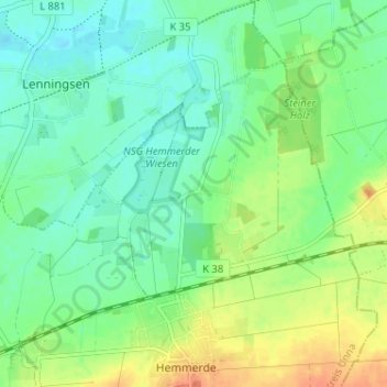
Name: Klei topographic map, elevation, terrain.
Location: Klei, Unna, Kreis Unna, Nordrhein-Westfalen, Deutschland (51.54487 7.79255 51.58487 7.83255)
Average elevation: 81 m
Minimum elevation: 67 m
Maximum elevation: 103 m
Other topographic maps
Click on a map to view its topography, its elevation and its terrain.
Unna
Deutschland > Nordrhein-Westfalen > Kreis Unna > Unna
Unna, Kreis Unna, Nordrhein-Westfalen, Deutschland
Average elevation: 114 m