
Thank you for supporting this site ❤️
Make a donation
Make a donation
Black topographic map
Click on the map to display elevation.
Thank you for supporting this site ❤️
Make a donation
Make a donation
About this map
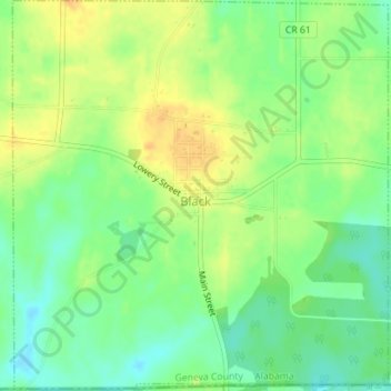
Name: Black topographic map, elevation, terrain.
Location: Black, Geneva County, Alabama, United States (30.99475 -85.76081 31.02481 -85.72710)
Average elevation: 65 m
Minimum elevation: 49 m
Maximum elevation: 80 m
Thank you for supporting this site ❤️
Make a donation
Make a donation