
Badersfield topographic map
Click on the map to display elevation.
About this map
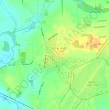
Name: Badersfield topographic map, elevation, terrain.
Location: Badersfield, Norfolk, East of England, England, United Kingdom (52.75598 1.33859 52.76615 1.34702)
Average elevation: 15 m
Minimum elevation: 1 m
Maximum elevation: 29 m