
Thank you for supporting this site ❤️
Make a donation
Make a donation
Бокова topographic map
Click on the map to display elevation.
Thank you for supporting this site ❤️
Make a donation
Make a donation
About this map
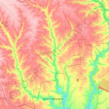
Name: Бокова topographic map, elevation, terrain.
Location: Бокова, Кропивницький район, Kirovohrad Oblast, 28516, Ukraine (47.94940 32.92269 48.29532 33.15221)
Average elevation: 129 m
Minimum elevation: 55 m
Maximum elevation: 190 m
Thank you for supporting this site ❤️
Make a donation
Make a donation