
Pope County topographic map
Interactive map
Click on the map to display elevation.
About this map
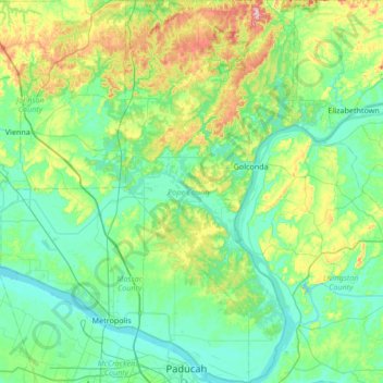
Name: Pope County topographic map, elevation, terrain.
Location: Pope County, Illinois, Vereinigte Staaten von Amerika (37.06381 -88.70844 37.60000 -88.40902)
Average elevation: 139 m
Minimum elevation: 91 m
Maximum elevation: 322 m