
Thank you for supporting this site ❤️
Make a donation
Make a donation
Mawai topographic map
Click on the map to display elevation.
Thank you for supporting this site ❤️
Make a donation
Make a donation
About this map
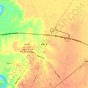
Name: Mawai topographic map, elevation, terrain.
Location: Mawai, Banda, Uttar Pradesh, India (25.49353 80.31211 25.57353 80.39211)
Average elevation: 120 m
Minimum elevation: 91 m
Maximum elevation: 131 m
Thank you for supporting this site ❤️
Make a donation
Make a donation