
Ruidenberg topographic map
Interactive map
Click on the map to display elevation.
About this map
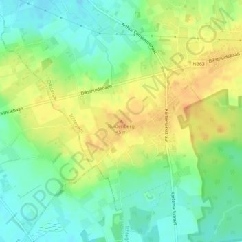
Name: Ruidenberg topographic map, elevation, terrain.
Average elevation: 33 m
Minimum elevation: 15 m
Maximum elevation: 54 m
Other topographic maps
Click on a map to view its topography, its elevation and its terrain.
Ichtegem
België > West-Vlaanderen > Oostende > Ichtegem
Ichtegem, Oostende, West-Vlaanderen, Vlaanderen, 8480, België
Average elevation: 23 m