
Thank you for supporting this site ❤️
Make a donation
Make a donation
Camorritos topographic map
Click on the map to display elevation.
Thank you for supporting this site ❤️
Make a donation
Make a donation
About this map
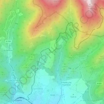
Name: Camorritos topographic map, elevation, terrain.
Location: Camorritos, Cercedilla, Comunidad de Madrid, 28491, España (40.73539 -4.06853 40.77539 -4.02853)
Average elevation: 1,386 m
Minimum elevation: 1,131 m
Maximum elevation: 1,892 m
Thank you for supporting this site ❤️
Make a donation
Make a donation