
Fermont topographic map
Interactive map
Click on the map to display elevation.
About this map
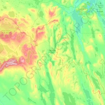
Name: Fermont topographic map, elevation, terrain.
Location: Fermont, Caniapiscau, Côte-Nord, Québec, G0G 1J0, Canada (52.69916 -67.44728 52.87546 -66.97082)
Average elevation: 632 m
Minimum elevation: 501 m
Maximum elevation: 904 m