
Bordj Mira topographic map
Interactive map
Click on the map to display elevation.
About this map
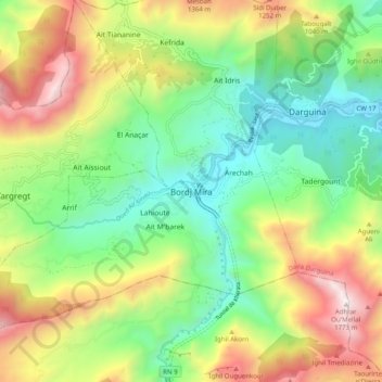
Name: Bordj Mira topographic map, elevation, terrain.
Location: Bordj Mira, Taskriout, Daïra Darguina, Béjaïa, 06621, Algérie (36.50767 5.23597 36.58767 5.31597)
Average elevation: 711 m
Minimum elevation: 72 m
Maximum elevation: 1,743 m
Other topographic maps
Click on a map to view its topography, its elevation and its terrain.
Kefrida
Algérie > Béjaïa > Daïra Darguina > Taskriout
Kefrida, Taskriout, Daïra Darguina, Béjaïa, 06621, Algérie
Average elevation: 762 m