
Thank you for supporting this site ❤️
Make a donation
Make a donation
Deiningen topographic map
Click on the map to display elevation.
Thank you for supporting this site ❤️
Make a donation
Make a donation
About this map
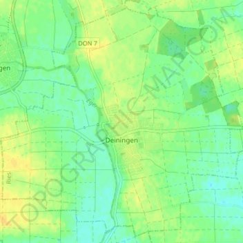
Name: Deiningen topographic map, elevation, terrain.
Location: Deiningen, Ries, Landkreis Donau-Ries, Bavaria, 86738, Germany (48.84473 10.53665 48.88690 10.60454)
Average elevation: 419 m
Minimum elevation: 409 m
Maximum elevation: 430 m
Thank you for supporting this site ❤️
Make a donation
Make a donation