
Chetaïbi topographic map
Interactive map
Click on the map to display elevation.
About this map
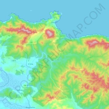
Name: Chetaïbi topographic map, elevation, terrain.
Location: Chetaïbi, Daïra Chetaibi, Annaba, Algérie (36.93909 7.28477 37.08495 7.50984)
Average elevation: 121 m
Minimum elevation: -2 m
Maximum elevation: 540 m