
Klitsche topographic map
Interactive map
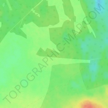
Click on the map to display elevation.
About this map
Name: Klitsche topographic map, elevation, terrain.
Average elevation: 94 m
Minimum elevation: 75 m
Maximum elevation: 118 m
Im Jahr 1847 wurde Klitsche im „Topographisch-statistischen Handbuch des Preussischen Staats“ gelistet. Als Vorwerk mit 5 Häusern und 24 Seelen und zu Groß Lübars gehörig, zählte es zum Kreis Jerichow I im Regierungsbezirk Magdeburg der Provinz Sachsen.