
Achara topographic map
Interactive map
Click on the map to display elevation.
About this map
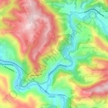
Name: Achara topographic map, elevation, terrain.
Location: Achara, Zestaponi Municipality, Imereti, Georgia (42.07451 43.13925 42.11451 43.17925)
Average elevation: 369 m
Minimum elevation: 192 m
Maximum elevation: 566 m
Other topographic maps
Click on a map to view its topography, its elevation and its terrain.
Argveta
Georgia > Imereti > Zestaponi Municipality
Argveta, Zestaponi Municipality, Imereti, Georgia
Average elevation: 165 m