
Thank you for supporting this site ❤️
Make a donation
Make a donation
S&J Garden topographic map
Click on the map to display elevation.
Thank you for supporting this site ❤️
Make a donation
Make a donation
About this map
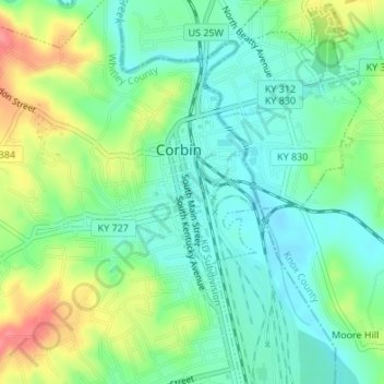
Name: S&J Garden topographic map, elevation, terrain.
Location: S&J Garden, Corbin, Whitley County, Kentucky, United States (36.94565 -84.09569 36.94578 -84.09562)
Average elevation: 344 m
Minimum elevation: 318 m
Maximum elevation: 394 m
Thank you for supporting this site ❤️
Make a donation
Make a donation