
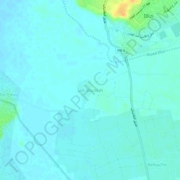
Sidi Bouslah topographic map
Interactive map
Click on the map to display elevation.
About this map
Name: Sidi Bouslah topographic map, elevation, terrain.
Location: Sidi Bouslah, Illizi, Daïra d'Illizi, Illizi, 33000, Algérie (26.46771 8.44539 26.50771 8.48539)
Average elevation: 557 m
Minimum elevation: 552 m
Maximum elevation: 582 m
Other topographic maps
Click on a map to view its topography, its elevation and its terrain.
Oued Souf Mellene
Algérie > Illizi > Daïra d'Illizi > Illizi
Oued Souf Mellene, Illizi, Daïra d'Illizi, Illizi, Algérie
Average elevation: 610 m