
Thank you for supporting this site ❤️
Make a donation
Make a donation
Sungai Besut topographic map
Click on the map to display elevation.
Thank you for supporting this site ❤️
Make a donation
Make a donation
About this map
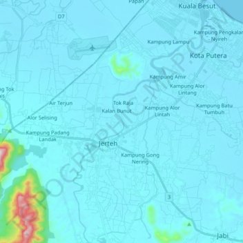
Name: Sungai Besut topographic map, elevation, terrain.
Location: Sungai Besut, Kuala Besut, Besut, Terengganu, Malaysia (5.67190 102.47415 5.83210 102.56040)
Average elevation: 27 m
Minimum elevation: -3 m
Maximum elevation: 578 m
Thank you for supporting this site ❤️
Make a donation
Make a donation