
Pech Meje topographic map
Interactive map
Click on the map to display elevation.
About this map
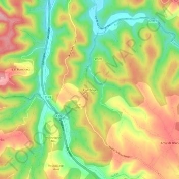
Name: Pech Meje topographic map, elevation, terrain.
Average elevation: 205 m
Minimum elevation: 121 m
Maximum elevation: 290 m
Other topographic maps
Click on a map to view its topography, its elevation and its terrain.
Mas d'Abriot
France > Occitanie > Lot > Aujols
Mas d'Abriot, Aujols, Cahors, Lot, Occitanie, France métropolitaine, 46090, France
Average elevation: 226 m