
Thank you for supporting this site ❤️
Make a donation
Make a donation
Rajgad topographic map
Click on the map to display elevation.
Thank you for supporting this site ❤️
Make a donation
Make a donation
About this map
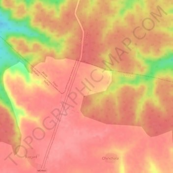
Name: Rajgad topographic map, elevation, terrain.
Location: Rajgad, Mehkar, Buldhana, Maharashtra, India (20.31353 76.76527 20.32192 76.77394)
Average elevation: 512 m
Minimum elevation: 443 m
Maximum elevation: 530 m
Thank you for supporting this site ❤️
Make a donation
Make a donation
Other topographic maps
Click on a map to view its topography, its elevation and its terrain.