
River Teith topographic map
Click on the map to display elevation.
About this map
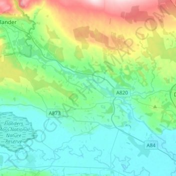
Name: River Teith topographic map, elevation, terrain.
Location: River Teith, Callander, Stirling, Scotland, United Kingdom (56.14231 -4.22387 56.24395 -3.98165)
Average elevation: 96 m
Minimum elevation: 3 m
Maximum elevation: 398 m
Other topographic maps
Click on a map to view its topography, its elevation and its terrain.