
八宝镇 topographic map
Interactive map
Click on the map to display elevation.
About this map
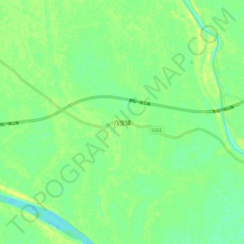
Name: 八宝镇 topographic map, elevation, terrain.
Location: 八宝镇, 荆州市, 湖北省, 434000, 中国 (30.14229 111.83023 30.22229 111.91023)
Average elevation: 40 m
Minimum elevation: 30 m
Maximum elevation: 50 m
Other topographic maps
Click on a map to view its topography, its elevation and its terrain.