Bear Rocks topographic map
Click on the map to display elevation.
About this map
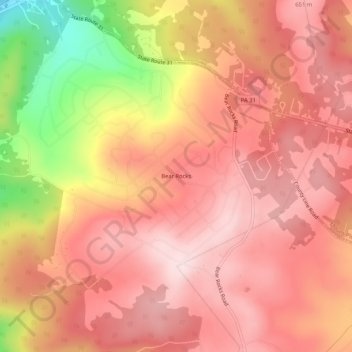
Name: Bear Rocks topographic map, elevation, terrain.
Average elevation: 571 m
Minimum elevation: 344 m
Maximum elevation: 672 m

Click on the map to display elevation.
Name: Bear Rocks topographic map, elevation, terrain.
Average elevation: 571 m
Minimum elevation: 344 m
Maximum elevation: 672 m