
Los Loros topographic map
Interactive map
Click on the map to display elevation.
About this map
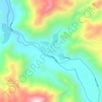
Name: Los Loros topographic map, elevation, terrain.
Average elevation: 1,174 m
Minimum elevation: 886 m
Maximum elevation: 1,773 m
Other topographic maps
Click on a map to view its topography, its elevation and its terrain.
Caserones
Chile > Región de Atacama > Provincia de Copiapó > Tierra Amarilla
Caserones, Tierra Amarilla, Provincia de Copiapó, Región de Atacama, Chile
Average elevation: 2,400 m