
Pítipo topographic map
Interactive map
Click on the map to display elevation.
About this map
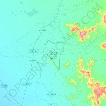
Name: Pítipo topographic map, elevation, terrain.
Location: Pítipo, Ferreñafe, Lambayeque, Perú (-6.59071 -79.82998 -6.37159 -79.42216)
Average elevation: 111 m
Minimum elevation: 9 m
Maximum elevation: 980 m