
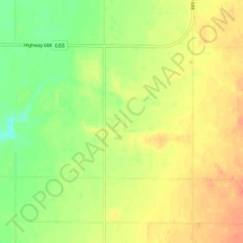
St. Isidore topographic map
Interactive map
Click on the map to display elevation.
About this map
Name: St. Isidore topographic map, elevation, terrain.
Location: St. Isidore, Division No. 17, Alberta, T0H 3B0, Canada (56.18551 -117.12490 56.22551 -117.08490)
Average elevation: 575 m
Minimum elevation: 552 m
Maximum elevation: 593 m