
坡稔村 topographic map
Interactive map
Click on the map to display elevation.
About this map
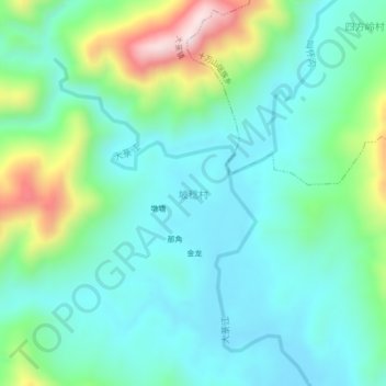
Name: 坡稔村 topographic map, elevation, terrain.
Location: 坡稔村, 大菉镇, Fangcheng, Fangchenggang, Guangxi, China (21.88155 108.09456 21.92155 108.13456)
Average elevation: 200 m
Minimum elevation: 64 m
Maximum elevation: 618 m