
Teror topographic map
Interactive map
Click on the map to display elevation.
About this map
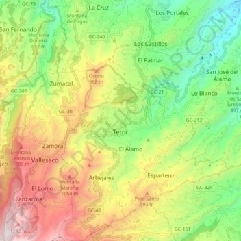
Name: Teror topographic map, elevation, terrain.
Location: Teror, Las Palmas, Kanarische Inseln, 35330, Spanien (28.02311 -15.56877 28.09885 -15.50264)
Average elevation: 704 m
Minimum elevation: 206 m
Maximum elevation: 1,399 m