
Thank you for supporting this site ❤️
Make a donation
Make a donation
Hull topographic map
Click on the map to display elevation.
Thank you for supporting this site ❤️
Make a donation
Make a donation
About this map
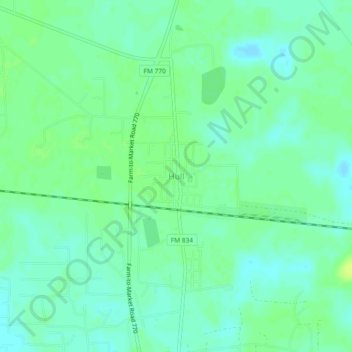
Name: Hull topographic map, elevation, terrain.
Location: Hull, Liberty County, Texas, 77533, United States (30.12632 -94.66242 30.16632 -94.62242)
Average elevation: 21 m
Minimum elevation: 14 m
Maximum elevation: 28 m
Thank you for supporting this site ❤️
Make a donation
Make a donation
Other topographic maps
Click on a map to view its topography, its elevation and its terrain.