
Boreda topographic map
Interactive map
Click on the map to display elevation.
About this map
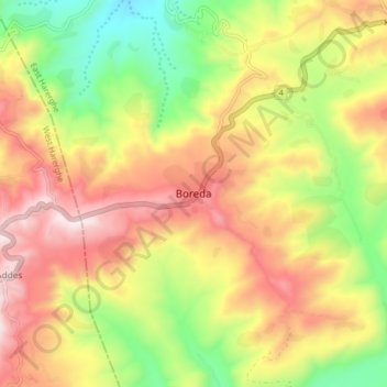
Name: Boreda topographic map, elevation, terrain.
Location: Boreda, East Harerghe, Oromia, Etiopía (9.29370 41.25014 9.37370 41.33014)
Average elevation: 2,151 m
Minimum elevation: 1,727 m
Maximum elevation: 2,577 m